
The last couple of weeks were furious with the fire incidents globally. Due to the extreme weather heat forecasts and strong winds conditions, we faced the pick of wildfires Risk exposure.
During this extreme fire risk crisis, our team at Prometheus put the strongest effort to work on the development of our tools and the experience we gain was astonishing!
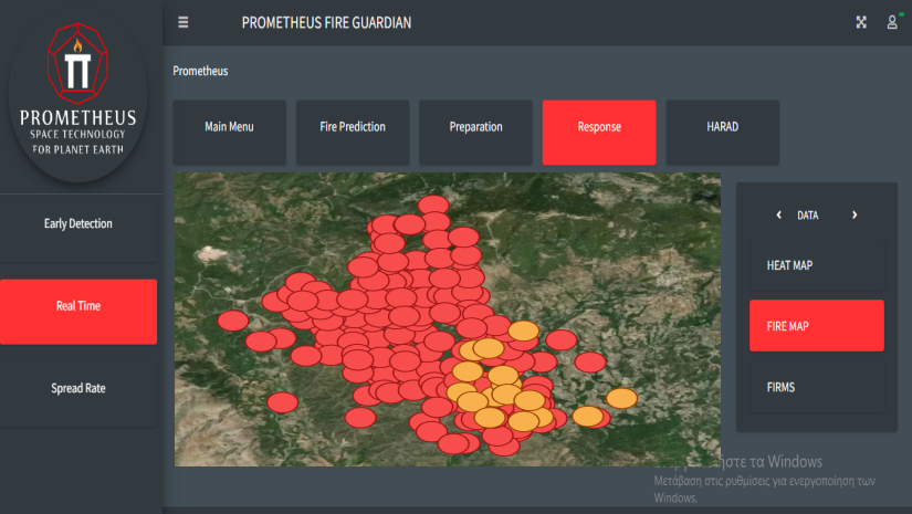
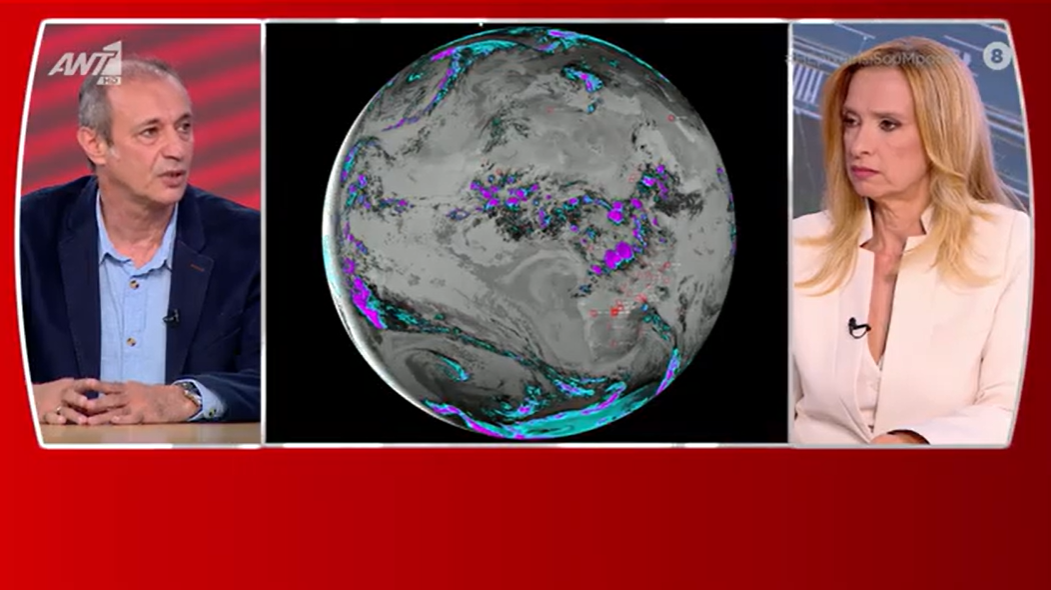
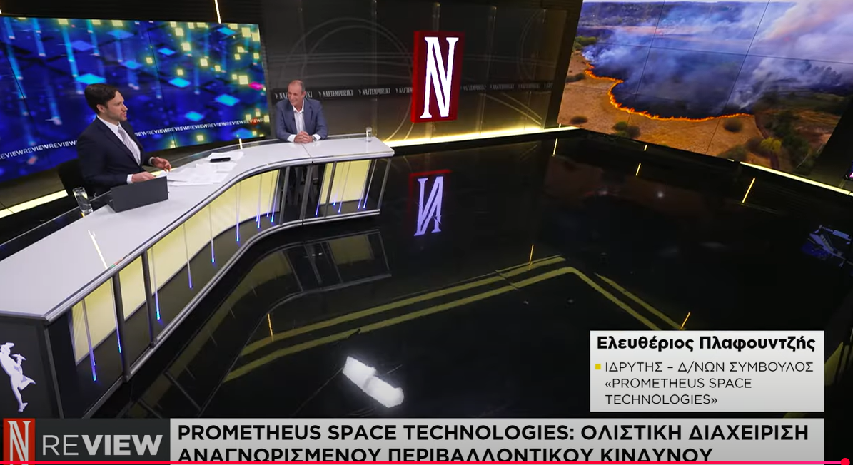
The in-real-time Fire Map monitoring of the incidents in the Rhodes Island wildfire case on July 23rd. The detection and real-time monitoring capabilities of our platform were tested and evaluated.
The results of technology’s development were reached sooner than expected. Our plans were to develop the advanced tools of our platform in at least 6 months later time. The Land Surface Temperature Difference Recognition app (known as Heat Map), and the monitoring and identification of actual fire incidents (Fire Data) using Geostationary orbit satellite data, give us increased monitoring capabilities for Direct Fire Detection, and Real-time Monitoring.
We tested our capabilities for the first time internationally, and the results were not just promising but glorious! We monitor and track over about 1500 observational data of land surface temperature increases that led to identifying fire incidents in Greece, Turkey, Balkan states, the USA, and Canada.

The Prometheus Heat Map tool was tested in multiple cases and incidents in July. The results were promising.
We are thrilled and excited because we had the opportunity to detect, monitor and evaluate thousands of incidents globally, for the first time.
Our software is a step-by-step approach, reaching completion and full development. Once we do that, nothing will be the same in wildfire confrontation. Stay tuned, great things are about to happen!

